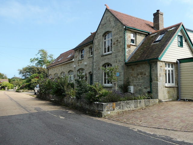
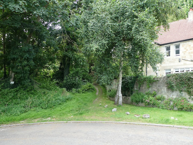
 Somehow, though it is on my doorstep, I had never done exactly this walk, until I discovered it with a walking group. I started in Ventnor town centre and headed west to follow Undercliff Drive through Ventnor Park. This award-winning park is best visited in June or July, when its immaculate flower borders are a mass of colour.
Ventnor Park was once the property of the Hambrough family, who lived just across the road in Steephill Castle (demolished). It was given to the town in Victorian times, and many rare plants and trees date from this time.
Here you can find an aviary, putting green, cafe and bandstand, where live music can often be heard on summer Sundays. In midsummer, the park comes to life when the Ventnor Fringe festival sets up its tents and the park plays host to music, theatre, comedy and, of course, a beer tent.From here, continue westwards, passing Ventnor Cricket Club and the Botanic Gardens. Just beyond here you will come to a sign for St Lawrence at the entrance to Inglewood Park, a crescent that leads uphill before descending to meet the main road again.
 |
| St Lawrence Hall |

After a few minutes, the path joins a tarmac road, on which you go straight ahead.
This track will lead into Pelham Road. A little further down, you will join Castle Close to come to the former railway station of Ventnor West, now a private home.
 When the station opened in 1900, it was part of an extensive rail network, but of course today only the Ryde to Shanklin line is still running. Ventnor West was on the extension line of the Isle of Wight Central Line from Merstone, but was not as popular as the main station above the town. The photo below dates from 1958 but the station had closed in 1952 along with the rest of the line.
 |
| "Ventnor West station remains. 13.1.58" by Roger Joanes is licensed under CC BY-NC-ND 2.0 |
Pictures of the station when operating in the 1950s can be seen here.

Beyond the station the road winds down to join Castle Road just above Ventnor Park. From here, either return past the park to the town centre and buses, or head up Castle Rd and zigzag up to the top of the town. 
Walk Details
Start: Ventnor Park
Finish: Ventnor Park
Distance: 3.75 miles
Time: 1.5 hours
Bus: No 3 from Newport or Ryde
Refreshments/WC: In town or Ventnor Park (summer).


No comments:
Post a Comment